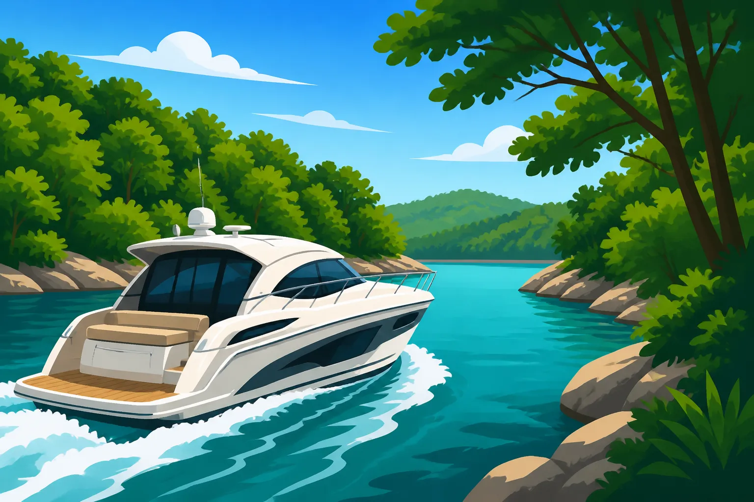
Taking a 40-Foot Boat Into Lake of the Ozarks Coves
A forty-foot boat can enter some Lake of the Ozarks coves, but its size puts extra weight on route planning, wake control and reading local restrictions. The Missouri State Highway Patrol maintains a Limited No Wake Cove Map specifically for vessels 40 feet and larger. Here’s how to use that map, plan a sensible approach and avoid treating a cove like open water.
What the limited no-wake map tells you
The Missouri State Highway Patrol maintains a Limited No Wake Cove Map for Lake of the Ozarks designated specifically for vessels 40 feet and larger. That makes the map an important starting point when you’re planning to take a boat of that size into a cove.
“Limited no wake” is a location-specific designation, not a general description of every cove. Don’t assume that a cove is unrestricted because you’ve visited it before, or that every cove has the same limits. Check the map for the particular cove you intend to enter, and use the official map rather than a screenshot or an old copy shared in a group chat. Maps and posted conditions can change; confirm the current information before your trip.
The map is also not a guarantee that a cove will be safe or comfortable for your boat on a given day. It tells you where the designated areas are for vessels in this size category. It doesn’t tell you how crowded the approach will be, whether another vessel is blocking the entrance, whether conditions have changed, or whether your boat can maneuver comfortably in the available space.
That distinction matters because a legal route and a good route aren’t always the same thing. A cove could fall outside a mapped limited no-wake area and still be a poor place to carry speed: there may be docks, swimmers, anchored boats, narrow turns or little room to recover if you meet traffic. Missouri’s general rules and safe-operation expectations still matter. For more context on speed and the rules that apply beyond mapped areas, see Lake of the Ozarks Speed Limit: Is There One During the Day? and Careful and Prudent: What Missouri Law Means by Safe Boat Speed.
Use the map to answer a specific question: does the planned cove or part of the route fall within the area designated for vessels 40 feet and larger? Then make a separate decision about whether the route is manageable for your crew and boat under the conditions you actually encounter.
A map is a planning tool, not permission to press on
Treat the map as one layer of your plan. Before you leave, identify the cove entrance and the route you expect to follow. Once on the water, watch for markers and conditions that call for extra caution. If the map, signs or current conditions leave you unsure, slow down, keep clear of other traffic and get reliable clarification rather than guessing.
It’s also useful to look at the map before selecting a destination. If a cove’s layout or restrictions don’t fit your boat or your crew’s experience, choose another place to anchor or turn around. There’s no practical benefit in squeezing a large boat into a tight spot simply because it appeared on the original itinerary.
For a closer look at how to read the map and understand which areas are designated, Is Your Cruiser Too Big for This Cove? Reading the Limited No Wake Map is a useful companion. For broader context on areas where large boats must slow down, see Where Large Boats Must Slow Down on the Lake of the Ozarks.
Why a 40-foot boat needs a different cove plan
A large boat needs more room and more time to respond than a small craft. That changes the way you should approach a cove, even if you have plenty of boating experience. A narrow entrance, a sharp turn or a cluster of anchored boats can leave little room to adjust course. Wind and traffic can make the space feel even tighter.
The boat’s wake also deserves special attention. A large hull can affect docked boats, swimmers and smaller craft well beyond the immediate path of the vessel. The wake may reflect off shorelines or structures, and repeated passes can disturb a cove even when each pass feels modest from the helm. That’s why choosing a controlled speed and a considerate route matters outside mapped areas as well as inside them.
At lower speeds, some boats handle differently than they do on plane. Steering response may feel less direct, and wind can push a tall or broad vessel off its intended line. A helmsperson who is used to open water may need to anticipate turns earlier and leave more room for correction. If you’re unfamiliar with the boat, practice handling it in open space before attempting a crowded cove.
Consider the full route, not just the final turn. A boat may have enough space to enter a cove but not enough room to make a safe turn, pass another vessel or hold position while the crew prepares to anchor. Look for a place where you can slow well before the entrance, assess traffic and choose whether to continue without forcing other boaters to react to you.
A big boat also makes communication and crew preparation more important. Decide who will handle the helm, who will watch the entrance and who will manage lines or fenders if you plan to tie up. Keep people seated or stable while you maneuver, and don’t ask a crew member to reach over the side or step onto an unfamiliar dock while the boat is moving. If your crew is inexperienced, explain the plan before you approach the cove.
The best cove choice is not necessarily the closest one or the one with the most activity. It’s the one where your vessel can enter, maneuver and leave without creating avoidable risk for your passengers or anyone else. If the entrance looks congested, the space is too narrow for a comfortable turn, or conditions are pushing you off course, wait, choose another destination or remain in open water.
How to plan and approach a cove
A deliberate approach gives you options. It also helps the crew understand what’s happening before the boat is close to docks, swimmers or other vessels.
Before leaving the dock
-
Check the current MSHP map. Look up the specific cove and route you plan to use. Confirm that you’re reading the information for vessels 40 feet and larger, and don’t rely on a saved image if you can check the current official map.
-
Choose a primary destination and a backup. Pick another cove or an open-water alternative in case your first choice is crowded, awkward to enter or affected by conditions. A backup makes it easier to turn away without a last-minute debate at the entrance.
-
Review conditions and traffic expectations. Wind, waves, visibility and the number of boats already in the area can change how manageable a cove feels. A route that seems easy in calm, open conditions may not be suitable when the entrance is busy or the boat is being pushed around.
-
Talk through the plan with the crew. Identify who is steering, who is watching for traffic and who is responsible for lines or fenders. Make sure passengers know to stay clear of pinch points and to avoid leaning over the rail while the boat is moving.
-
Get essential gear ready before the approach. Put lines and fenders where they can be reached without creating a scramble. Check that required safety equipment is aboard and accessible. The Missouri Boat Safety Equipment Checklist can help you review the basic preparation before you leave.
At the entrance
Reduce speed early enough that you have time to assess the situation. Avoid rushing toward the entrance and then making a sharp correction when you discover a boat, dock or swimmer in your path. A measured approach leaves more room to adjust and gives other boaters a better chance to understand what you’re doing.
Keep a careful lookout around the entrance. Watch for boats leaving the cove, vessels turning, people swimming and traffic hidden by a shoreline or dock. Don’t assume another operator has seen your boat. Where visibility is restricted, proceed cautiously and be ready to stop or change course.
Follow the applicable mapped designation and posted markers. Don’t use another vessel’s speed as your guide, and don’t assume that a clear-looking stretch is free of local restrictions. If you can’t confidently identify your route or the conditions leave too little room to maneuver, stay out until you can make a safe decision.
Once inside, avoid cutting close to docked boats or making a pass that sends a wake toward swimmers. Leave space for other vessels to maneuver and for people to get to their docks. If the cove is already crowded, circling through it while deciding where to go can make matters worse. Pick a destination before entering when possible, and leave if you can’t find a suitable place without disrupting others.
Getting out again
Think about the exit before you settle in. Notice where traffic is coming from and how much room you’ll need to turn toward the opening. Before departing, gather loose gear and make sure passengers are ready. Don’t begin maneuvering while crew members are distracted or standing in a place where a sudden movement could make them lose balance.
When leaving, be patient with boats coming in. Keep a lookout for traffic and avoid cutting across another vessel’s path. A larger boat may need a wider turn, but that doesn’t make it appropriate to demand space from other operators. If the opening is congested, wait where you aren’t blocking traffic rather than pushing through.
Speed, wake and nearby boaters
A cove can feel sheltered, but the effects of a boat’s wake may be obvious to everyone nearby. Docked boats can rock against lines or fenders; smaller craft may have trouble staying upright; and swimmers can be put in an uncomfortable or dangerous position. Even if you’re following a mapped designation, you still need to consider your speed and the impact of your wake in the actual setting.
There’s no single “safe-looking” speed that works in every situation. The right choice depends on the boat, visibility, water conditions, traffic, distance to obstacles and your ability to stop or turn. Stay alert to what the hull is doing. If your wake is moving nearby boats sharply, washing into docks or disturbing people in the water, change your speed or route. For a fuller explanation of how no-wake language is used in Missouri, see Slow-No Wake Speed in Missouri: What the Law Means by It and Wake Courtesy on Missouri Lakes: Rules and Common Sense.
Pay particular attention to the space around:
- Docks and moored vessels
- Swimmers and people using floats
- Smaller boats that may be difficult to see
- Narrow passages and blind corners
- Boats anchored near the shoreline
- Other vessels waiting to enter or leave
Give people room rather than relying on a last-second maneuver. If you’re uncertain about how close you should be or whether you need to slow further, choose a more cautious line and speed. How Far to Stay From Docks, Swimmers and Other Boats in Missouri explains the broader distance and wake considerations.
Avoid treating the edge of a mapped area as a signal to accelerate immediately. The map helps identify designated locations, but a crowded approach, nearby swimmers or rough water may call for a slower, more conservative choice beyond the mapped boundary. Conversely, don’t assume that a boat’s size alone makes every area off-limits. Check the designation and then operate according to the conditions and rules that apply.
If another boat’s wake rocks your vessel or makes the area feel unsafe, don’t answer with a faster pass or an argument on the water. Increase your distance, adjust your position and give the situation time to settle. Courtesy is especially useful in a confined cove, where the options for maneuvering can be limited for everyone.
| What you’re assessing | What to look for | Practical response |
|---|---|---|
| Map designation | Whether the planned cove or route is identified for vessels 40 feet and larger | Check the current official map before departure and follow the designation |
| Entrance conditions | Traffic, visibility, wind, waves and room to turn | Slow early, wait if needed or choose the backup destination |
| Wake impact | Movement at docks, nearby small boats and swimmers | Reduce speed, increase distance or change route |
| Crew readiness | Whether passengers know their roles and gear is accessible | Explain the plan and prepare lines before entering |
| Exit space | Room to turn and traffic moving through the opening | Plan the departure and wait rather than forcing a passage |
Common mistakes and better alternatives
Relying on memory instead of checking the map. A cove that seemed unrestricted on a previous visit may not be the right assumption for a later trip. Check the MSHP map for the specific destination, particularly when the vessel falls within the 40-foot-and-larger category.
Using a map as the only safety check. The map can tell you about a designation, but it can’t assess live traffic, wind, visibility or crowding. Pair it with a real-time look at conditions and be willing to change the plan.
Approaching too fast to make a clean turn. If you wait until the entrance to slow down, you may have little time to react to a boat coming out, a swimmer or a tight turn. Reduce speed before you reach the constrained area.
Assuming a large boat can always hold its line at low speed. Wind and current can affect handling, and steering may feel different from the way it does when the boat is moving faster. Know how your vessel responds and allow space for correction. If you’re new to the boat, practice before taking it into a busy cove.
Following the crowd. Another boat’s choice doesn’t tell you whether the route is suitable for your vessel or whether that operator has checked the designation. Make your decision using the official map, current conditions and your own handling ability.
Trying to dock or anchor when the space isn’t right. A tight turn, nearby swimmers or limited room to maneuver can turn a routine stop into a hazard. Move on rather than insisting on a particular spot. A good backup plan makes that choice easier.
Letting crew members improvise. Unclear roles can lead to people moving at the wrong time, reaching for lines while the boat is underway or distracting the helmsperson. Brief the crew before you enter. Keep instructions simple and make sure everyone knows where to stand.
Treating education as a substitute for the map. A boating course can help you understand safe operation, but it won’t tell you the current designation for a particular cove. If you’re considering a course, a provider such as BoaterExam may be a study option; check Missouri’s current requirements and accepted course information before relying on any course for a specific credential. Missouri Boater Education: Courses, Cards and Who Needs Them and Which Online Boater Safety Courses Does Missouri Actually Accept? explain how to check the education side.
Buying gear without checking what is required or suitable. A large boat may need equipment suited to its size and layout, but shopping advice isn’t a legal checklist. Start with the applicable Missouri requirements and the boat’s own equipment needs. West Marine can be a place to compare practical items such as dock lines or fenders, but confirm that any safety equipment meets the requirements that apply to your vessel. The Missouri Boat Safety Equipment Checklist is a better starting point than assuming a general product description settles the question.
A simple decision rule for the day
Before you enter a cove, answer these questions:
- Have you checked the current MSHP map for the specific cove and for vessels 40 feet and larger?
- Can you identify a clear route in and a workable way to leave?
- Can you approach without creating an avoidable wake or forcing other boaters to move?
- Is the crew ready, with the helmsperson able to focus?
- If the entrance or interior feels too tight, do you have another place to go?
If the answers are clear, proceed cautiously and keep reassessing as conditions change. If they aren’t, wait, choose a different cove or remain in open water. A large boat can be a comfortable way to enjoy Lake of the Ozarks, but cove navigation rewards patience more than ambition. Checking the map, planning for the boat’s handling and respecting the people around you will make the trip safer and less stressful.
Sources
- Missouri State Highway Patrol — Water Patrol Home (checked November 5, 2026)
Disclaimer
This article is for general informational purposes only and does not constitute professional advice. Laws, prices and regulations vary by location and change over time. Consult a qualified professional for guidance on your specific situation.